| Wauchope to Barrow Creek | |||||
| Date: | 11-03-2014 | Time: | 04:41 h | Σ Time: | 326:10 h |
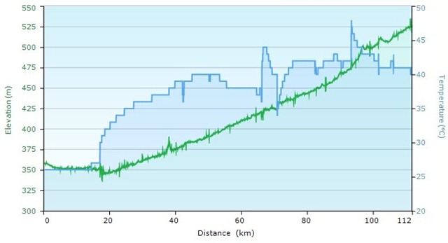
| Distance: | 111 km 133km *) |
Σ km: | 6798 km | Temp: | 26/44°C |
| Up: | 225 m | Σ Up: | 70780 m | Down: | 56 m |
| Calories: | 2548 kcal | Σ kcal: | 150249 kcal | ||
| Conditions: | Skies cleared, hotter and dry. Wind not always to our favor. We gain a bit of altitude towards Alice Spring, *) 22 km extra to return to ‘the marbles’ |
||||
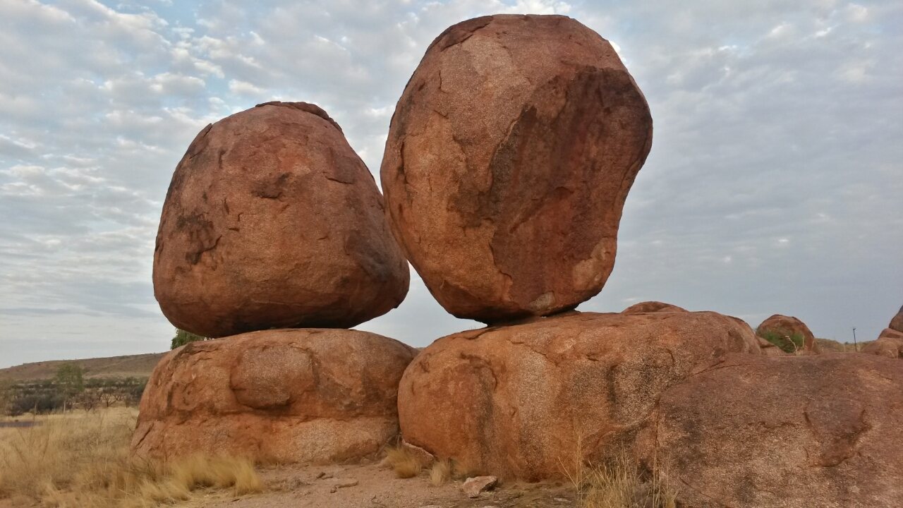
The group decided on a 50 km time trial on this ‘shorter’ cycling day, whereas I decided to return to the Devils Marbles for a sunrise photo opportunity. This added 22 extra kilometers to my day and a late arrival in the next camp, Which wasn’t too bad, as the Barrow Creek caravan park is not the first address in the outback. It is the most basic campsite so far in Australia, everything rundown, broken or not yet finished, except the pub, which is one of a kind. No pool to refresh and relax after a long cycling day, but enough cold drinks in the pub.
Since I wasn’t ‘racing’ I had all time of the world to finish the day. I was behind everyone the whole day, including the sweep. The lunch-van paid me a surprise visit, to ‘search’ for me and deliver water and food. Although I ‘signed out’ for the day, a TdA official was a bit concerned about my wellbeing, because I left camp at 5:30am and wasn’t seen thereafter, and there was no mobile signal to keep in touch. I received a lunch packet from Chelsea to survive the final 70km, which I took slower than usual, to save energy for the next two long distance cycling days to Alice Springs.
The ‘Ufo Capital of Australia’ was my breakfast stop at 18 km. The racers missed this unique location, as they couldn’t afford to stop their race. I was ‘hijacked’ by the aliens and only released after I bought a sticker for my bicycle and a pin for my Australian pin collection, which is the substitution for bracelets I collected in Indonesia.
At the Barrow Creek pub I got another animal for my travelling bike helmet zoo, which Doug mounted to my already crowded helmet.
Tweet ##transoceania


